How to Use Ski Maps Without Cell Service
The Cell Service Problem on Mountains
If you’ve ever pulled out your phone at the top of a chairlift and seen “No Service,” you’re not alone. Cell coverage on ski mountains is notoriously unreliable — and it’s not just an inconvenience. When you’re trying to figure out which run leads back to your lodge, a dead signal can turn a minor question into a genuine problem.
Several factors conspire against your phone on the slopes. Deep valleys and bowls block cell tower signals entirely, leaving back-country terrain and off-piste areas in complete dead zones. Dense tree cover on gladed runs attenuates signals further, so even resorts with decent base coverage often lose it once you duck into the trees. During peak hours, crowded base areas overload nearby towers, meaning the one place you’d expect reliable signal — the lodge — can be just as unreliable as the summit.
International visitors face an additional hurdle: roaming charges. Australians skiing in New Zealand, or Kiwis heading to Japan, often keep their phones in airplane mode to avoid surprise bills — which means no data at all. And beneath all of these issues, cold temperatures drain batteries faster, reducing the window you have to use whatever signal does exist.
The result is that most skiers spend their day navigating by memory, following crowds, or studying paper trail maps at the base. There’s a better way.
How Offline Ski Maps Work
Offline ski maps solve the connectivity problem by separating two things people often conflate: maps and GPS. Your phone’s GPS receiver talks directly to satellites orbiting overhead — it doesn’t need a cell tower or WiFi connection to pinpoint your location. What it does need is a map to display that location on.
When you download an offline ski map, you’re saving the full GeoJSON resort map to your phone’s local storage while you still have WiFi. That map includes every run, lift, connecting trail, and facility at the resort — the same data the app uses when you’re online. Once it’s saved, your phone can plot your GPS position on the map without ever reaching out to a server.
This means you get real-time positioning on a detailed resort map even in areas with zero cell coverage. You can see exactly which run you’re on, which direction a trail goes, and where the nearest lift or lodge is — all without a single bar of signal. The GPS chip in modern iPhones is accurate to roughly 3–5 metres in open terrain, which is more than enough to distinguish between adjacent runs.
What Works Offline vs What Needs Data
Understanding the boundary between offline and online features helps you plan your day. Here’s what works without any data connection:
- Map browsing — pan, zoom, and explore the full resort map
- Navigation — turn-by-turn directions between any two points on the map
- Run recording — full GPS track capture with speed, distance, and elevation
- Run replay — review recorded runs with animated playback
- Speed and stats — real-time speed display and session statistics
A few features do require an active data connection to function:
- Group location sharing — seeing friends’ positions on the map in real time
- Server sync — uploading recorded runs to your account and syncing snowmiles
- Map updates — downloading newer versions of resort maps when available
The good news is that sync happens automatically when you reconnect. Runs recorded offline are stored locally and uploaded the next time your phone has WiFi or cell service — nothing is lost.
How SnowRun Helps
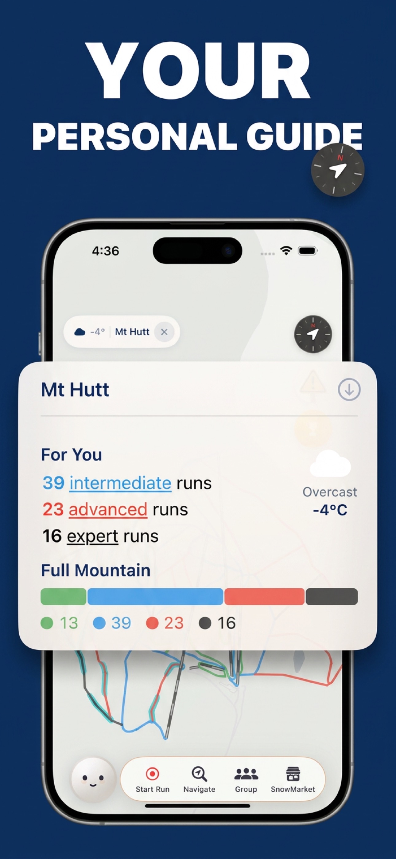
SnowRun was designed from the ground up with offline use in mind. The app uses a one-tap download system — open any resort page and tap the download button to save the complete map to your device. Maps are compact GeoJSON files, so downloads finish in seconds even on a hotel’s slow WiFi.
Security matters even offline. SnowRun’s maps are stored with AES-256-GCM encryption, the same standard used by banks and governments. This protects the curated map data on your device while keeping it instantly accessible to the app itself.
Downloaded maps persist between sessions — you don’t need to re-download before every ski day. The app checks for newer map versions when you’re online and updates silently in the background, but the cached version remains usable indefinitely. If you visit the same resort every weekend, you download once for the season.
With maps stored locally, you get full navigation and tracking offline. Turn-by-turn directions work without a connection because the routing is computed on-device using the downloaded map data. Run recording captures your complete GPS track, including speed at every point, and stores it locally until you’re back online. When connectivity returns, everything syncs automatically — your runs appear in your journal, snowmiles are credited, and challenge progress updates.
For international travellers, this is especially valuable. Download maps for your destination resort on hotel WiFi the night before, put your phone in airplane mode to avoid roaming charges, and still get full navigation and tracking all day on the mountain.
Download resort maps and ski without signal worries
One-tap offline maps with full navigation and tracking — no cell service required.
Download SnowRun FreeFrequently Asked Questions
How much storage do offline maps use?
Each resort map is under 5 MB. All 31 currently supported resorts combined take up less than 150 MB — a fraction of what a single podcast episode uses. You won’t need to worry about storage space.
Do I need to re-download maps each visit?
No. Maps are cached on your device and persist between sessions. The app automatically checks for newer versions when you’re online and updates in the background, but you never need to manually re-download.
Does GPS work without cell service?
Yes. GPS uses satellites orbiting the Earth, not cell towers. Your phone’s GPS chip receives signals directly from these satellites, so it works anywhere with a clear view of the sky — including remote mountaintops with zero cell coverage.